Ushita Alps Part 3
This is the final post in a 3 part series describing the 7km trail between Peace Pagoda and Big Wave Swimming Pool in Ushita. See Part 1 for a general introduction to the trail, map and directions on how to get to the trail head and up to Onaga-yama, and Part 2 for the trail between Onaga-yama and Ushita-yama.
Ushita-yama to Mitate-yama
- Part 1 Yamane-guchi to Onaga-yama 20 minutes
- Part 2 Onaga-yama to Ushita-yama 40 minutes
- Part 3 Ushita-yama to Mitate-yama 40 minutes
- Part 3 Mitate-yama to Ushita Astram Line Station 30 minutes
After a rest and enjoying the view head down the wide path with steps faintly carved in the ground that is is directly opposite where you arrived at the Ushita-yama at the end of Part 2.
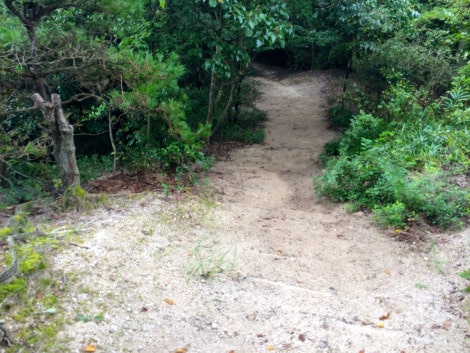
Ignore the trail that shoots off almost immediately to the left and continue straight. Pass chimney pot #8 and continue straight past the sign which points to another trail heading left to Waseda Elementary School [早稲田小学校] (you can get down this way, but you have to make a quite a confusing descent through a residential maze to get back to sea level and transport back to the city).
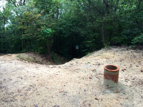 Chimney Pot #8
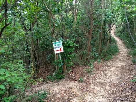
Keep moving straight, passing the remnants of a chimney pot past (#9).
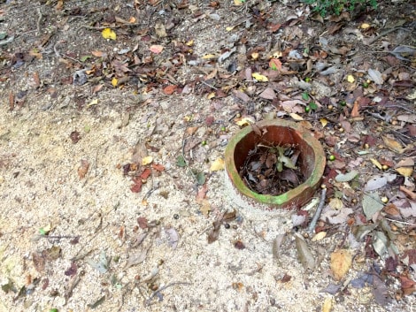 Chimney Pot #9
The path flattens, dips and flattens again before passing a sign pointing to the trail to Hesaka [戸坂] which forks right.
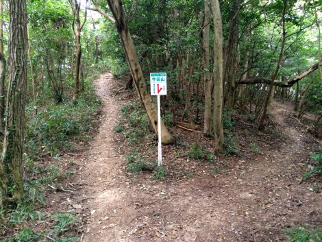
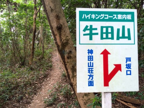
Top Ushita-yama 牛田山
Left Kanda-sansou houmen (direction) 神田山荘方面
Right 戸坂口
A short climb and descent bring you to another sign pointing to Hesaka [戸坂口], this time wooden, pointing right. Go left here.
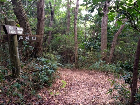 3.4km
3.4km
The trail descends for a couple of hundred meters, before it flattens and opens up a little.
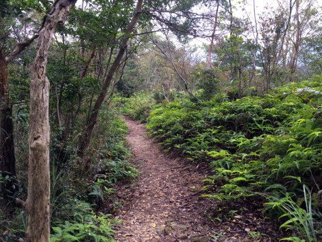
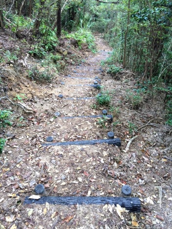
Then you hit some narrow steps – there are several sections of these kind of steps on this section of the trail.
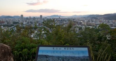
You soon make a short climb up to a nice clearing with a bench that overlooks the Otagawa River which is just beyond the end of this hike. A wooden sign points to the left – another trail to Ushita-waseda [牛田早稲田]. Follow the red arrow on the plastic sign next to the outlook pointing to the right.
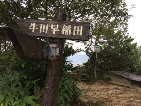
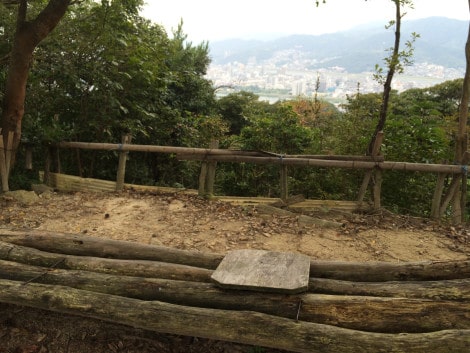
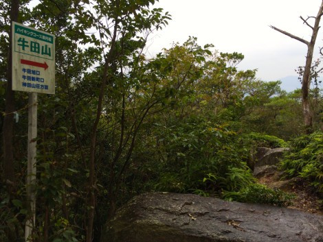
The red arrows points you through some large boulders and the trail descends more steep steps before rising again to (broken) chimney pot #10 and a sign heading right to historic Fudoin Temple [不動院] (something of a rough trail). Take the left trail here.
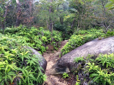
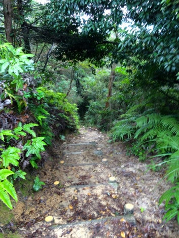
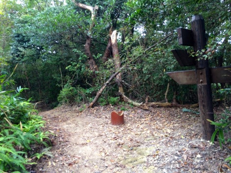 Chimney Pot #10 .
Go left
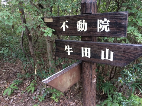 Top Fudoin [不動院]
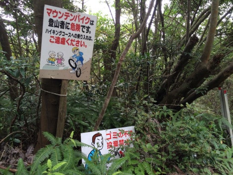
Taking the left trail, you’ll see a “No Mountainbiking” sign on your immediate left followed by a fork with another signpost – the paper sign attached to the post reads Mitate-yama [見立山]. This is where were we are heading, so take the left fork.
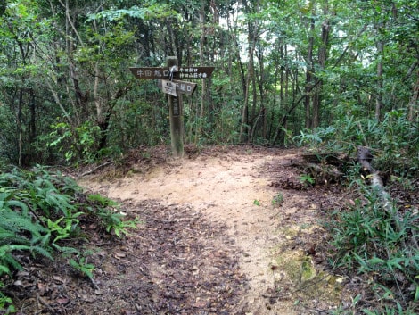
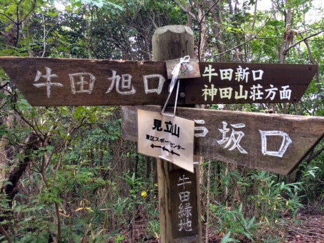
Pass this sign – ignoring the trail to the right to Kanda-sansou-guchi [神田山荘口]
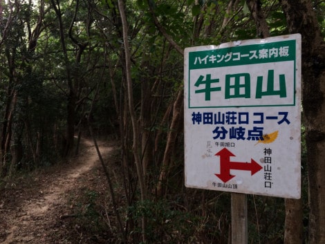
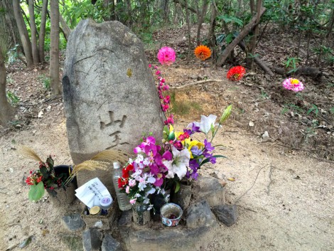
A short detour on the left takes you to a small Kannon image and leads you back to the trail.
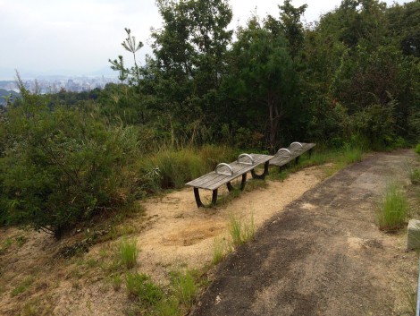
The trail flattens and begins to open up and brighten, the path turns to concrete and runs along a fence overlooking Kanda-sansou and other public facilities. A pair of benches look back along the ridge you have walked and over to the Peace Pagoda on Futaba-yama.
The path continues down a few steps and brings you out into the upper reaches of Ushita Sogo Park (4.8km).
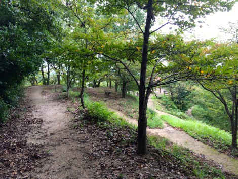
You can start picking your way down through the park, down steps and winding paths that loop past the many gazeebo dotted around the park, or you can continue along the upper path for 300m to Mitate-yama which offers a great view.
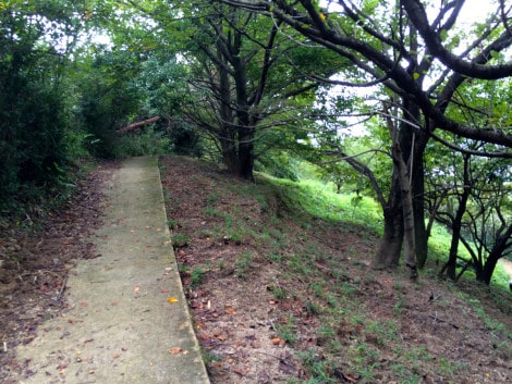
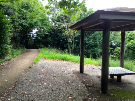
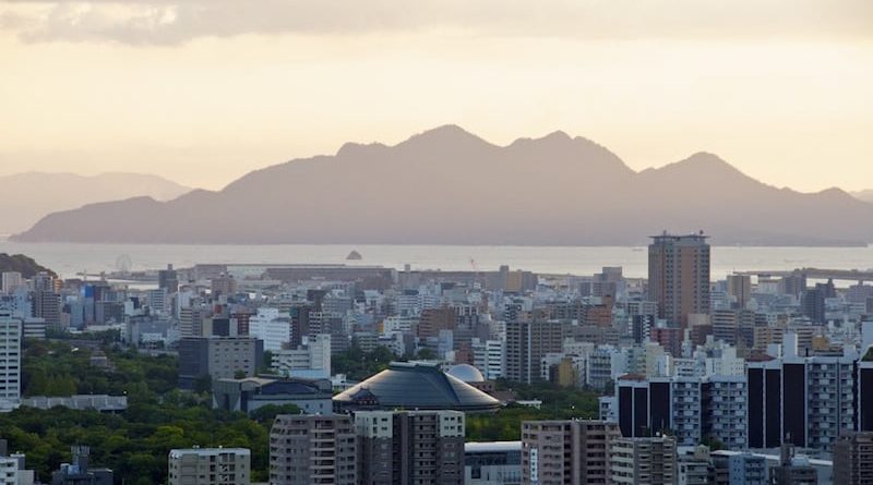
The concrete path ends here and the trail starts again, from where it is about 100m to the Mitate-yama viewpoint (5.1km). Legend has it that this is where Mori warlord Terumoto looked out over the delta below and chose the site for his new castle around which the town, and then city of Hiroshima would grow. It is now surrounded by much taller buildings, but you can still make out the top of castle keep from here. It’s a great place to watch the sunset.
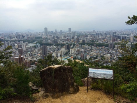
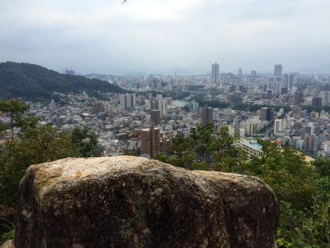
From here, you can follow the Mitate-yama hike directions in reverse, but it’s fairly simple to get down. Retrace your steps back to Ushita Sogo Park and start making your way down. You can choose to follow the concrete path or take the dirt path seen below on the left.
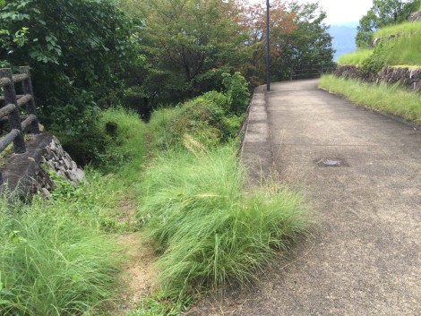
The path continues down over steep steps.
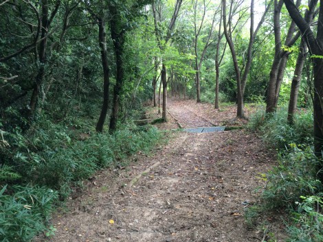
And comes out at a road – the picture below is looking back up the steps you’ve just come down from the road.
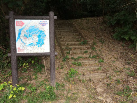
Turn left and head down the road. Turn right at the public (and quite well-maintained) toilets.
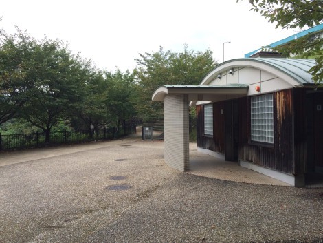
Go through a boar gate (this gate is closed from late afternoon, but can be opened – just remember to close it after you)
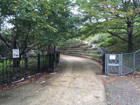
Follow the park path.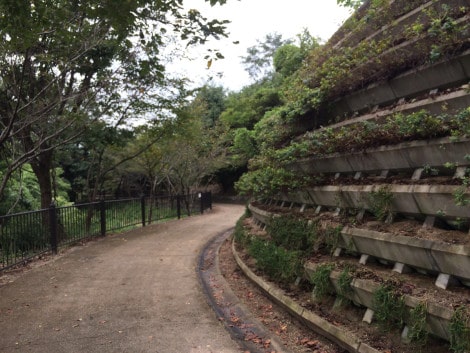
Which takes you to the Rose Garden.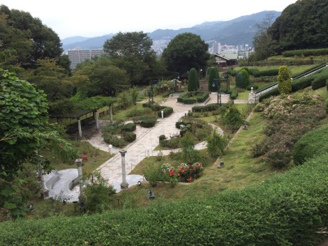
Heading down these steps will take you to some very steep steps which will get you to the bottom very quickly.
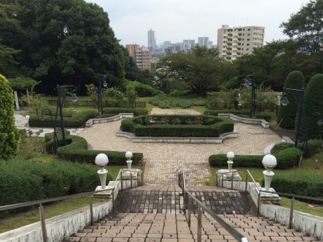
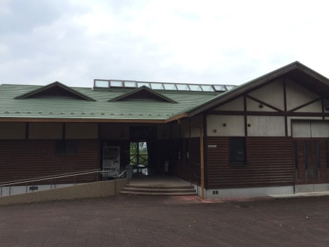
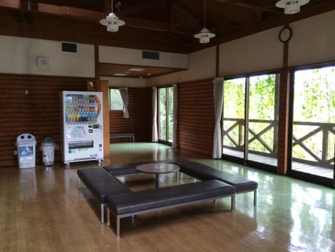
Or, continue along the concrete path, past the Nature Center which offers shade, shelter, vending machines and toilets.
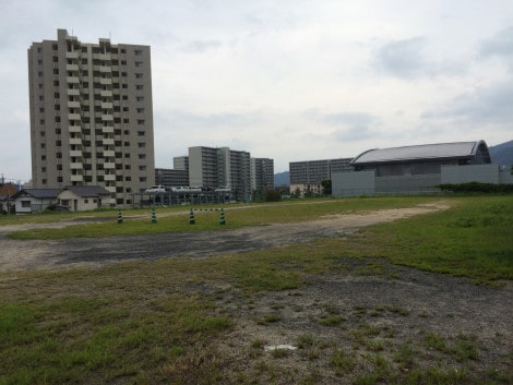
The road loops around and brings you to this empty space used as an overflow parking lot for the Higashi-ku Sports Center and Big Wave Pool.
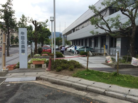
Cut across the field, turn left and walk past the community center (below) and the sports center on the left.
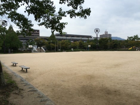
Cut across this exercise ground and you will arrive at Ushita Astram Line Station.
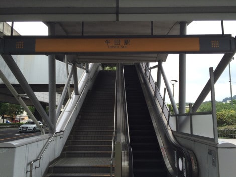
From here you can hop on an Astram Line train to the city center (Hondori) or if you are still up for more activity, head across the busy road to the Ota-gawa River and turn left along the riverside path which will take you all the way to the A-bomb Dome and Peace Memorial Park.


